

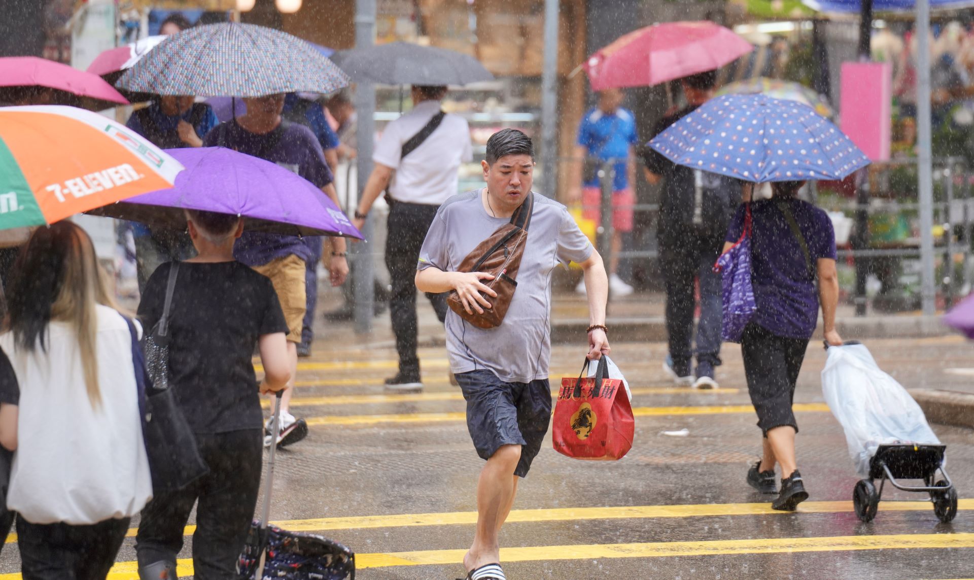
Hong Kong residents woke up to pouring rain on Monday morning, as heavy downpours battered the territory, with the red signal - the second in the city’s three-tier rainstorm warning system - hoisted for over an hour.
An area of intense thundery showers associated with a broad trough of low pressure is affecting the vicinity of the Pearl River Estuary, bringing showers and thunderstorms, the Hong Kong Observatory said.
The red rainstorm warning was hoisted on 8:05 am, nearly an hour after the first-tier amber alert was raised at 7:10 am. The red warning signal indicated that heavy rain has fallen or is expected to fall generally over Hong Kong, exceeding 50 millimeters in an hour, and is likely to continue. The alert was downgraded to amber again at 9:30 am.
All rainstorm warnings were eventually canceled at 2:10 pm as rains eased off.
The weather in Hong Kong is expected to be mainly cloudy with occasional showers and squally thunderstorms, with heavy showers at times, according to the observatory.
READ MORE: Amber rainstorm alert as heavy showers lash HK
With the trough of low pressure weakening and the subtropical ridge gradually covering the coast of Guangdong, showers will ease off and it will become fine and very hot over the region in the middle and latter parts of this week, the HKO added.
