
Hong Kong’s weather forecaster has said the No 1 typhoon signal will remain in force Friday night and at first on Saturday, with tropical storm Maysak set to make landfall over Hainan Island.
After the landfall, Maysak will move across Hainan Island, skirting over 500 kilometers to the southwest of Hong Kong, according to the Hong Kong Observatory.
“Unless Maysak intensifies significantly and adopts a track closer to the coast of Guangdong, the chance of issuing the Strong Wind Signal, No. 3 is relatively low,” it said in a 4:45 pm bulletin.
IN PICTURES: Windy end to rainy week
The Standby Signal, No 1, which means that a tropical cyclone now centered within about 800 kilometers of Hong Kong may affect the city, was raised at 7:40 am on Thursday.
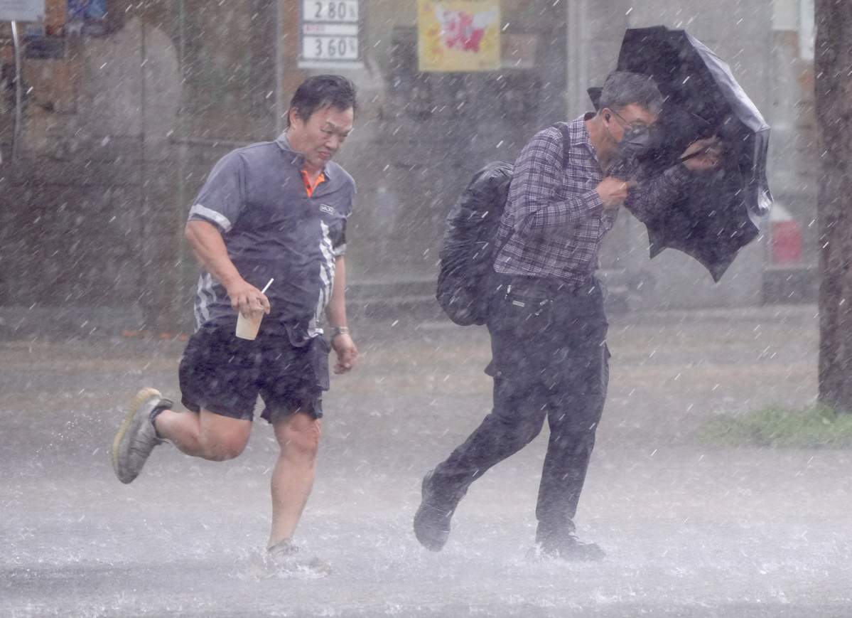
Under the combined effect of Maysak and the ridge of high pressure over southeastern China, winds in Hong Kong were occasionally strong offshore, up to gale force over parts of high ground.
RELATED ARTICLES
- Tropical depression: HK mulls raising No 3 typhoon signal Friday
- ‘Dim-sum’ among nine new names for this year's typhoons, says HKO
- HKO: 4 to 7 typhoons may hit Hong Kong this year
The HKO said the outer rainbands associated with the tropical storm are affecting the vicinity of the Pearl River Estuary, bringing short periods of squalls and violent gusts to Hong Kong.
Warning of swells, the observatory advised people to stay away from the shoreline and not to engage in water sports.

Under the influence of the southeast monsoon, it will still be windy on Saturday, and showers will be heavy at times, with thunderstorms, squalls and violent gusts, the HKO added.
“As Maysak departs gradually, local weather tomorrow is expected to gradually become dominated by the southeast monsoon associated with the ridge of high pressure,” the bulletin said.
Depending on the local wind conditions, the observatory will then issue the Strong Monsoon Signal or cancel all tropical cyclone warning signals, it added.