

BEIJING/HANGZHOU/FUZHOU – The National Meteorological Center on Friday maintained its yellow alert for Typhoon Dolphin, forecasting the powerful storm will make landfall along the country's eastern coast this weekend after crossing the East China Sea.
Typhoon Dolphin, the 13th named storm of the year, was centered about 820 kilometers east of Wenzhou, Zhejiang province, at 8 am Friday.
The strong typhoon was packing maximum sustained winds of 45 meters per second, while the minimum central pressure reached 950 hectopascals.
The storm is expected to move westward at 15 to 20 kilometers per hour, maintaining its current strength or intensifying slightly before entering the East China Sea.
It is then forecast to slow as it approaches China's east coast and could make landfall between southern Zhejiang and northern Fujian provinces from Sunday afternoon through early Monday, with sustained winds of 35 to 42 meters per second.
ALSO READ: China issues blue alert as Typhoon Dolphin approaches
After landfall, Dolphin is expected to track west-northwestward while gradually weakening, the center said, adding that it may linger over southern China for two to three days, or turn north and interact with a system in the westerlies, potentially bringing prolonged and widespread wind and rain to northern China.
Dolphin formed west of the International Date Line and has traveled a long distance toward China, and it is very rare for a storm following such a long track to make landfall in the country at this intensity, said Dong Lin, chief forecaster at the center.
Dolphin is currently under the combined influence of the subtropical high, troughs and ridges in the westerlies, and multiple typhoon systems, while a split in the subtropical high has weakened the steering flow affecting the storm, leaving its landfall location and post-landfall path uncertain, Dong said.
The weather authority warned of gale-force winds over much of the East China Sea between Friday afternoon and Saturday afternoon. Gusts reaching 24.5 meters per second are forecast for the waters east of Taiwan, the Bashi Channel, Hangzhou Bay, and coastal areas of Zhejiang and northeastern Fujian.
Across most of the East China Sea, winds are expected to reach 28.5 meters per second. Areas near the storm's center could experience winds of 46.2 meters per second.
Northern Taiwan is forecast to receive heavy rain and isolated downpours of 50 to 80 millimeters between Friday afternoon and Saturday afternoon. A round of strong wind and heavy rainfall is expected to hit East China around Sunday, the center said.
Zhejiang raises alert
At noon on Friday, authorities in East China's Zhejiang upgraded emergency responses for Dolphin from Level IV to Level III.
Lou Xiaofen, chief forecaster at the Zhejiang Meteorological Observatory, said the typhoon stands a high chance of making direct landfall in Zhejiang, which is located between Shanghai and Fujian, creating substantial disaster risks across the region.
Under the Level III typhoon response plans, local authorities are required to closely monitor the typhoon's development, issue early warnings and forecasts, evacuate people for safety, and provide public guidance to effectively protect the safety of people's lives and property.
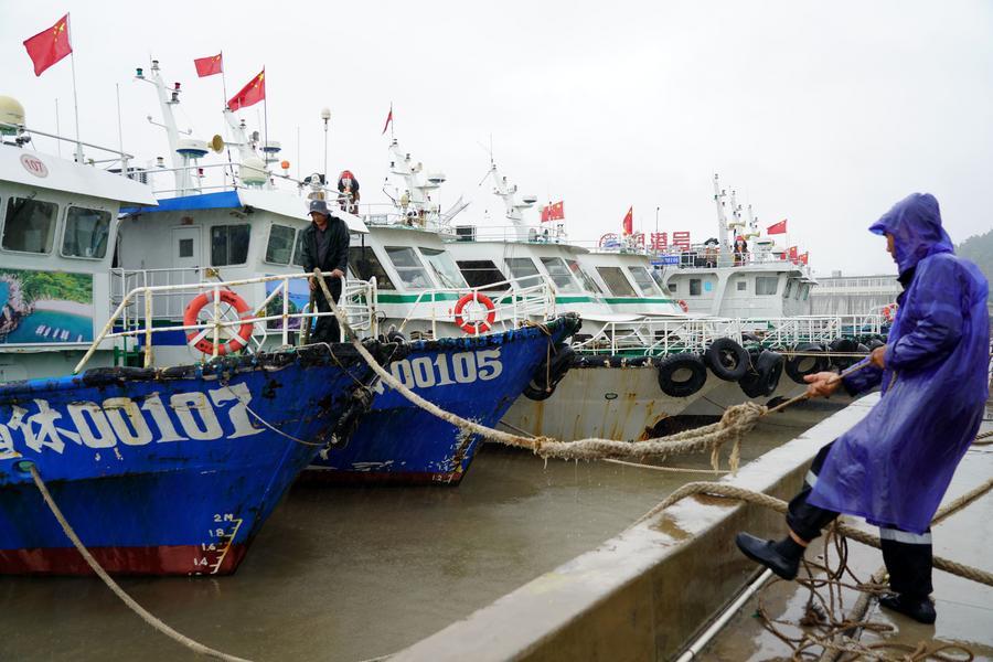
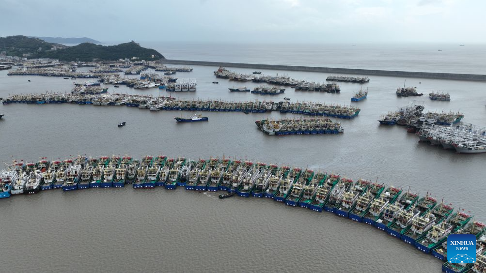
By 8 am Friday, Zhejiang had suspended services on all 162 passenger ferry routes, halted work at all 193 offshore projects, and called 474 construction vessels to port.
The provincial maritime authorities have issued 86,000 early warning messages and inspected 24,000 vessels. High-powered tugboats are now on standby for emergency rescue operations.
Meanwhile, neighboring Fujian province activated a Level-IV typhoon emergency response at 2 pm Thursday. Typhoon Dolphin is expected to make landfall between the Yangtze River estuary and northern Fujian on Sunday, the Fujian provincial meteorological observatory said.
From Sunday to Wednesday, heavy to torrential rains are expected across much of Fujian, especially in the central and northern regions, with accumulated rainfall of 100 to 200 mm and up to 300 mm in some areas, the meteorological observatory noted.
READ MORE: Typhoon Dolphin threatens eastern China amid active cyclone season
The Fujian provincial flood control authority has urged coastal areas and relevant departments to closely track the typhoon's movements, step up risk assessments, activate emergency responses in a timely manner, and implement all necessary precautions.
