

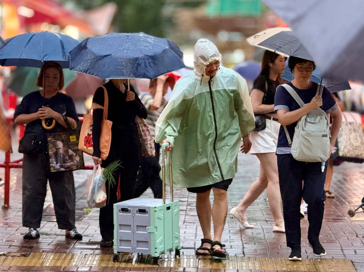
Hong Kong’s weather forecaster issued typhoon signal No 9 in the early hours of Sunday as Typhoon Noul approached the city, forcing cancellation of hundreds of flights and high-speed rail services.
With Noul intensifying into a severe typhoon, the Hong Kong Observatory said it would assess whether it needs to issue signal No 10 – the highest in its typhoon warning system – depending on the change in local wind conditions.
Winds are strengthening and gales are affecting many places across the city with occasional storm force winds over high ground. Heavy squally showers associated with Noul are affecting Hong Kong, the observatory said in a 1:45 am bulletin.
RELATED ARTICLES
- HKO: 4 to 7 typhoons may hit Hong Kong this year
- HKO: ‘Dim-sum’ among nine new names for this year's typhoons
- Temperatures drop as showers drench Hong Kong
Issued at 1:10 am, the T9 signal, which means that winds are expected to increase significantly as Noul moves closer to Hong Kong, or above is expected to remain in force at least until 7 am on Sunday, according to the observatory.
At 2 am, Noul was centered about 110 kilometers east of Hong Kong and is forecast to move northwest at about 18 km per hour towards the coast of eastern Guangdong.
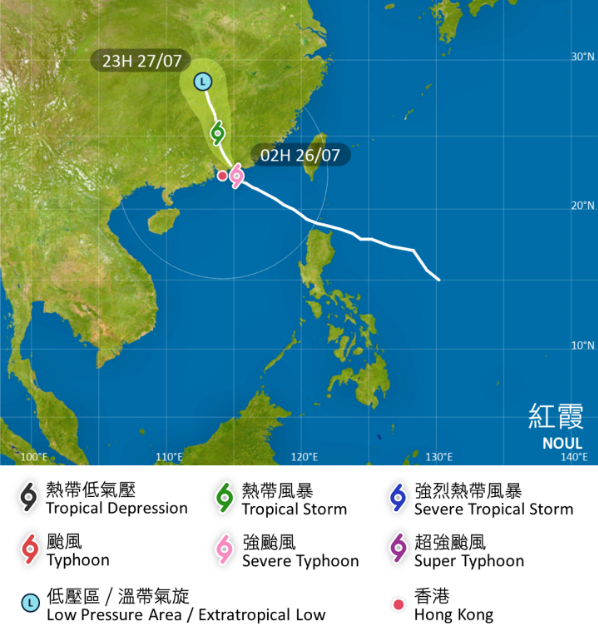
“According to the present forecast track, Noul will make landfall over the vicinity of Huizhou to Shanwei in the next few hours, skirting around 100 km northeast of Hong Kong,” reads the HKO bulletin.
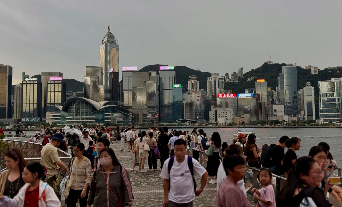
In a notification on Saturday morning, the Education Board announced suspension of afternoon classes of kindergartens, schools for children with physical disability and schools for children with intellectual disability for the day.
Airport officials said scores of flights were cancelled due to the approaching typhoon.
Almost 17 hours after raising typhoon warning signal No 1, the HKO issued typhoon signal No 3 at 1:20 pm on Saturday. It elevated the warning to No 8 at 10:10 pm.
