
The Hong Kong Observatory has warned of potential bad weather next week, with tropical cyclone Ragasa expected to intensify significantly in the next couple of days.
Ragasa is expected to move towards the vicinity of the Luzon Strait and intensify significantly in the next couple of days. It may edge closer to the coast of Guangdong with super typhoon intensity midweek next week, the forecaster said in a 12:30 pm bulletin.
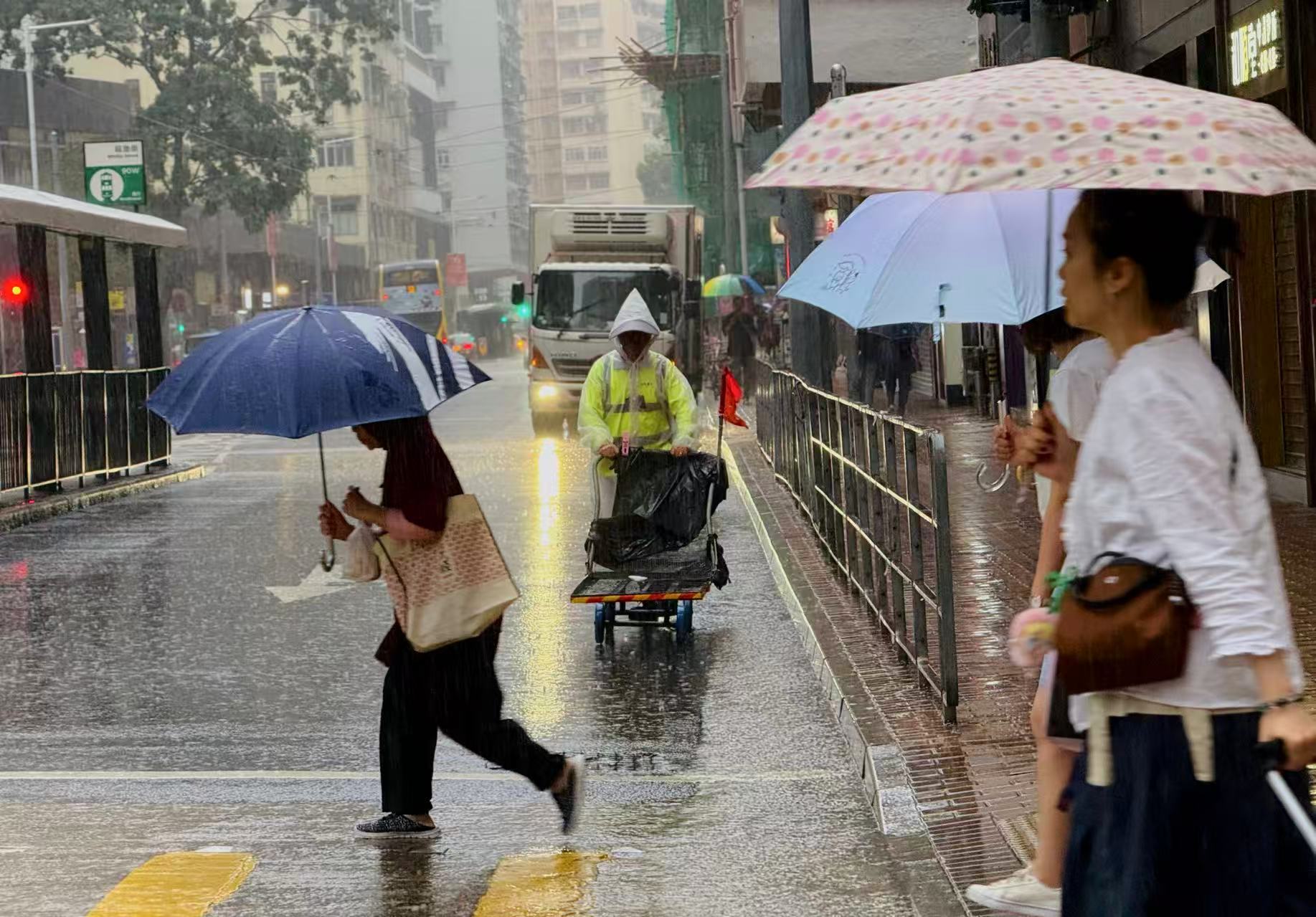
According to the present forecast, local weather will deteriorate gradually on Tuesday and Wednesday. Gale to storm force winds will prevail on Wednesday.
ALSO READ: Typhoon Mitag makes landfall in south China's Guangdong
Cautioning that the weather will be adverse with heavy squally showers and thunderstorms, the HKO said seas will be high with swells.
“Under the influence of significant storm surge, the sea level over coastal areas by then may be similar to that of Hato in 2017 and Mangkhut in 2018,” reads the bulletin.
It advised members of the public to be well prepared for high winds and flooding.

Meanwhile, the HKO downgraded the Strong Wind Signal No. 3, which was issued at 9:20 pm on Friday, 12 hours later to the Standby Signal No. 1 as Tropical Depression Mitag moved away from the city. The T1 signal was also lifted at 10:40 am.
An amber rainstorm warning, issued at 4:05 am on Saturday, was cancelled at 3:10 pm.