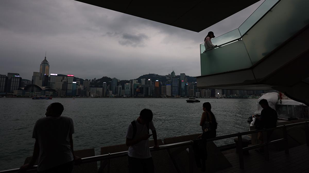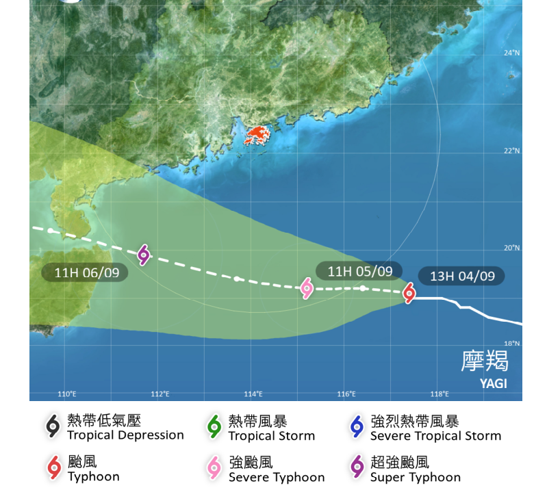
The Hong Kong Observatory issued the typhoon signal No. 3 on Wednesday evening as Severe Typhoon Yagi intensified and edged closer to the city.
In a weather advisory, the HKO said it raised the Strong Wind Signal, No. 3 at 6:40 pm, which means winds with a sustained speed of 41 to 62 kilometers per hour will start to affect the territory.
The observatory said the T3 storm warning will remain in effect at least until noon on Thursday.
"If Yagi moves according to the present forecast track and continues to intensify, local winds are expected to further strengthen later tomorrow," the HKO said. "The observatory may need to issue higher tropical cyclone warning signals between tomorrow afternoon and tomorrow night."
ALSO READ: HK raises T1 as typhoon approaches after an 'exceptionally hot' August
As of 9 pm Wednesday, Yagi was estimated to be about 450 kilometers southeast of Hong Kong and was forecast to move west at about 10 kilometers per hour across the northern part of the South China Sea, intensifying gradually, the observatory said.

As Yagi approaches, the weather will deteriorate on Thursday and Friday with heavy squally showers while seas will be rough with swells, it added.
'Super typhoon'
In Macao, the Meteorological and Geophysical Bureau said Yagi may further intensify into a “super typhoon”.
“According to the latest forecast, Yagi may intensify into a super typhoon and pass within 300 kilometers south of Macao on Friday. The wind force in Macao is expected to rapidly increase at that time, with frequent heavy showers and thunderstorms,” the bureau said.
READ MORE: April heat breaks Hong Kong’s 140-year record
It added that there was a moderate to relatively high possibility of raising the typhoon signal No. 8 over the special administrative region on Thursday night.


