

The Hong Kong Observatory hoisted its lowest-tier typhoon warning signal early on Monday evening as the remnant of Tropical Cyclone Saudel intensified, adding that it might consider raising a higher alert on Tuesday or Wednesday.
The observatory issued the Standby Signal, No 1 (T1) at 6:10 pm after the low pressure system again intensified into a tropical depression over the southeastern coastal waters of Hainan Island.
The T1 signal, which means a tropical cyclone is within 800 kilometers of Hong Kong, will remain in force at least until noon Tuesday, it added.
ALSO READ: HK experts urge swift action as El Nino threatens to bring more heat, typhoons
As Saudel moves closer to eastern Guangdong and intensifies further from Tuesday afternoon to Wednesday, local winds are expected to strengthen progressively.
“Depending on the intensity of Saudel, the distance of its strong winds from the Pearl River Estuary, and the change in local wind conditions, the observatory will assess the need for issuing the Strong Wind Signal, No 3 by then,” the HKO said.
As of 6 pm Monday, Saudel was centered about 130 kilometers south-southeast of Haikou and was forecast to move east or east-northeast at about 22 kilometers per hour across the northern part of the South China Sea, edging closer to the coast of eastern Guangdong.
READ MORE: HKO: 4 to 7 typhoons may hit Hong Kong this year
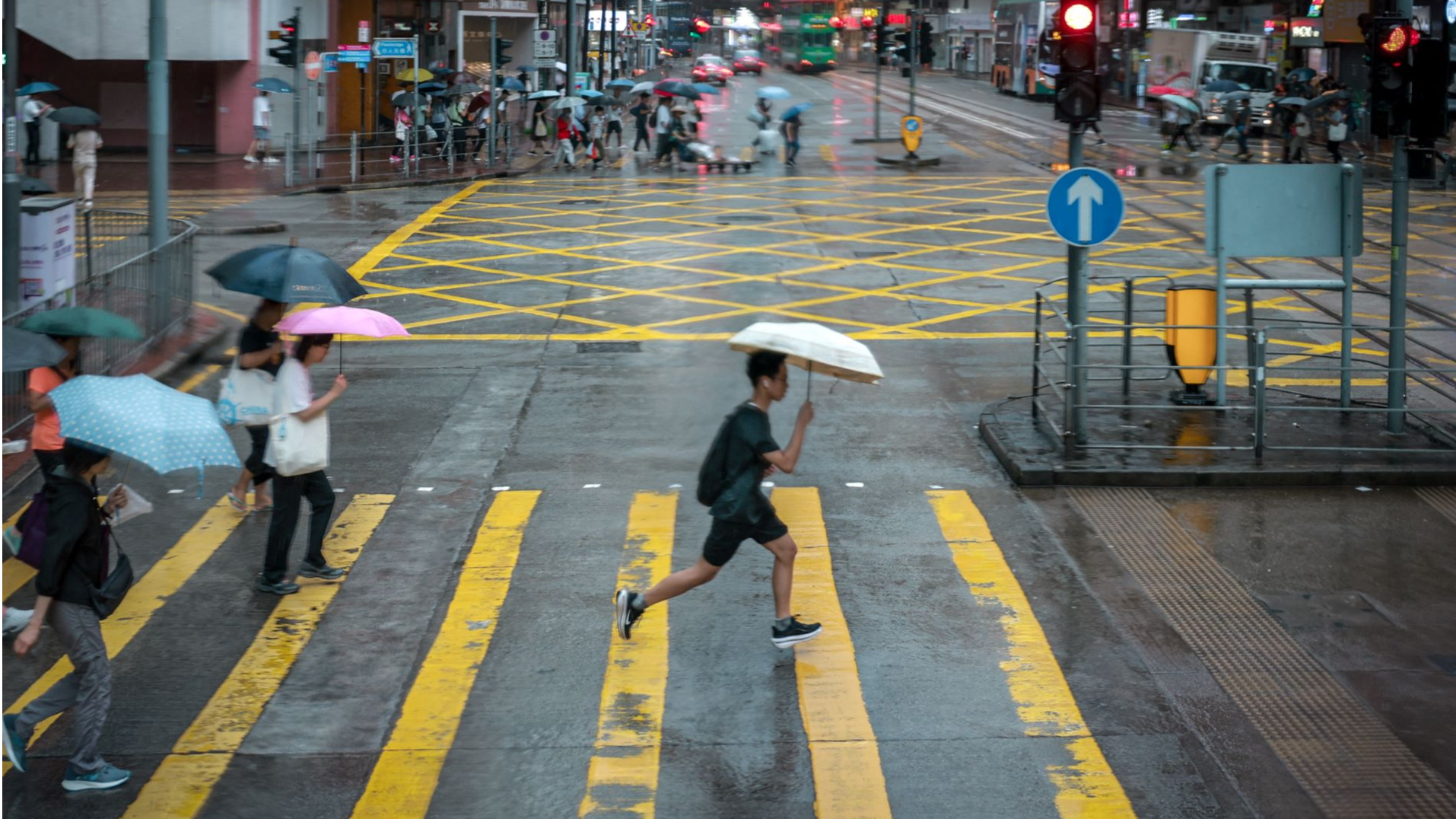
The HKO said the weather will be mainly cloudy with occasional squally showers and thunderstorms on Tuesday, when Hong Kong schools open to start a new academic year.
“Please consider the changes in weather when planning activities. Beware that strong winds may occur over offshore waters,” the HKO said, adding that there will be swells and showers will be heavier in some areas.
