

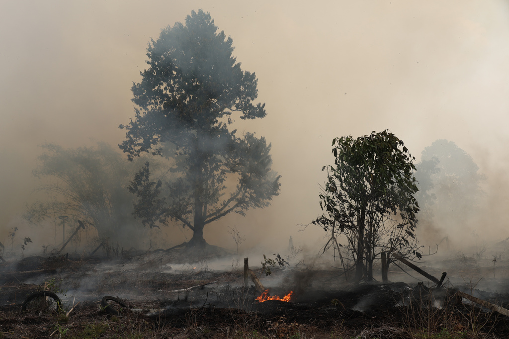
Indonesia is battling a surge in forest fires as a developing El Nino threatens to bring even drier weather and intensify risks at the peak of its dry season.
The Forestry Ministry’s fire-monitoring platform SiPongi has recorded 1,612 hotspots so far in this month, up sharply from 758 in all of July. It’s already the highest August number in three years, and outbreaks typically peak in September.
However, it is still well below the August levels recorded during the severe fire seasons of 2015, 2019 and 2023.
Hotter temperatures and extended droughts globally, often amplified by increasingly severe El Nino weather patterns, are making blazes more intense and harder to contain. Major fires have already burned this year across Canada and the US, as well as France, Spain, Greece and Australia.
In addition to the devastation wrought, severe fires in Indonesia threaten to blanket neighboring countries in thick clouds of smoke. The Association of Southeast Asian Nations’s weather-monitoring center is warning of an increasing risk of trans-boundary haze as hotspot numbers spike.
ALSO READ: EU climate monitor: Global ocean temperatures hit record July high as El Nino develops
Indonesia is entering its most dangerous period for fires, with the dry season expected to peak between August and September. A prolonged drought and intense heat in the country is directly linked to the strong and developing El Nino, which is also threatening crop losses and water shortages, according to the Australian Bureau of Meteorology’s latest tropical climate update. The dry conditions are forecast to last into early 2027 across large swathes of Indonesia, the bureau said.
The damage is already mounting. More than 107,000 hectares burned across the country from January through June, up 120 percent from the same period in 2019, according to Indonesian government data. About 54 percent of that was in designated forest area. The major palm-producing provinces of West Kalimantan and Riau, along with East Nusa Tenggara, recorded the largest burned areas, together accounting for about half the national total. A separate blaze around Mount Bromo in East Java forced the closure of the popular tourist destination.
The government is stepping up efforts to contain the fires, focusing on six priority provinces in the peat-rich regions of Sumatra and Kalimantan, where blazes can burn underground for weeks and produce thick haze, according to the National Disaster Mitigation Agency, known as BNPB.
READ MORE: Wildfires, record-high temperatures highlight heatwaves on continents
About 48,000 personnel have been deployed to fight blazes and cool burned areas to prevent flare-ups across Riau, South Sumatra, Central Kalimantan and Jambi, with five helicopters conducting water-bombing operations, BNPB said in a statement late Monday. Another 21 water-bombing helicopters, 12 patrol aircraft, and two cloud-seeding planes are on standby, and a further eight water-bombing helicopters are due to be added, BNPB said.
“On peat land in particular, ground crews still need to sweep the area and extinguish remaining fires to ensure the fire is completely out,” Suharyanto, head of the agency, said in the statement.
