
The Hong Kong Observatory issued the No 1 Standby Signal at 7:40 am on Thursday as a tropical depression formed over the central and southern parts of the South China Sea, bringing unsettled weather.
“The area of low pressure over the central and southern parts of the South China Sea has intensified into a tropical depression. It is expected to enter within 800 kilometers of Hong Kong later today,” reads an alert issued by HKO on Wednesday noon.
The tropical cyclone is forecast to move generally in the direction of the vicinity of Hainan Island to Beibu Wan on Thursday and Friday. While the cyclone is expected to remain at a distance of 400 kilometers or more from Hong Kong, its influence will still be felt locally.
ALSO READ: HKO: ‘Dim-sum’ among nine new names for this year's typhoons
The observatory said local winds are expected to strengthen on Friday while swells may develop in the coming days.
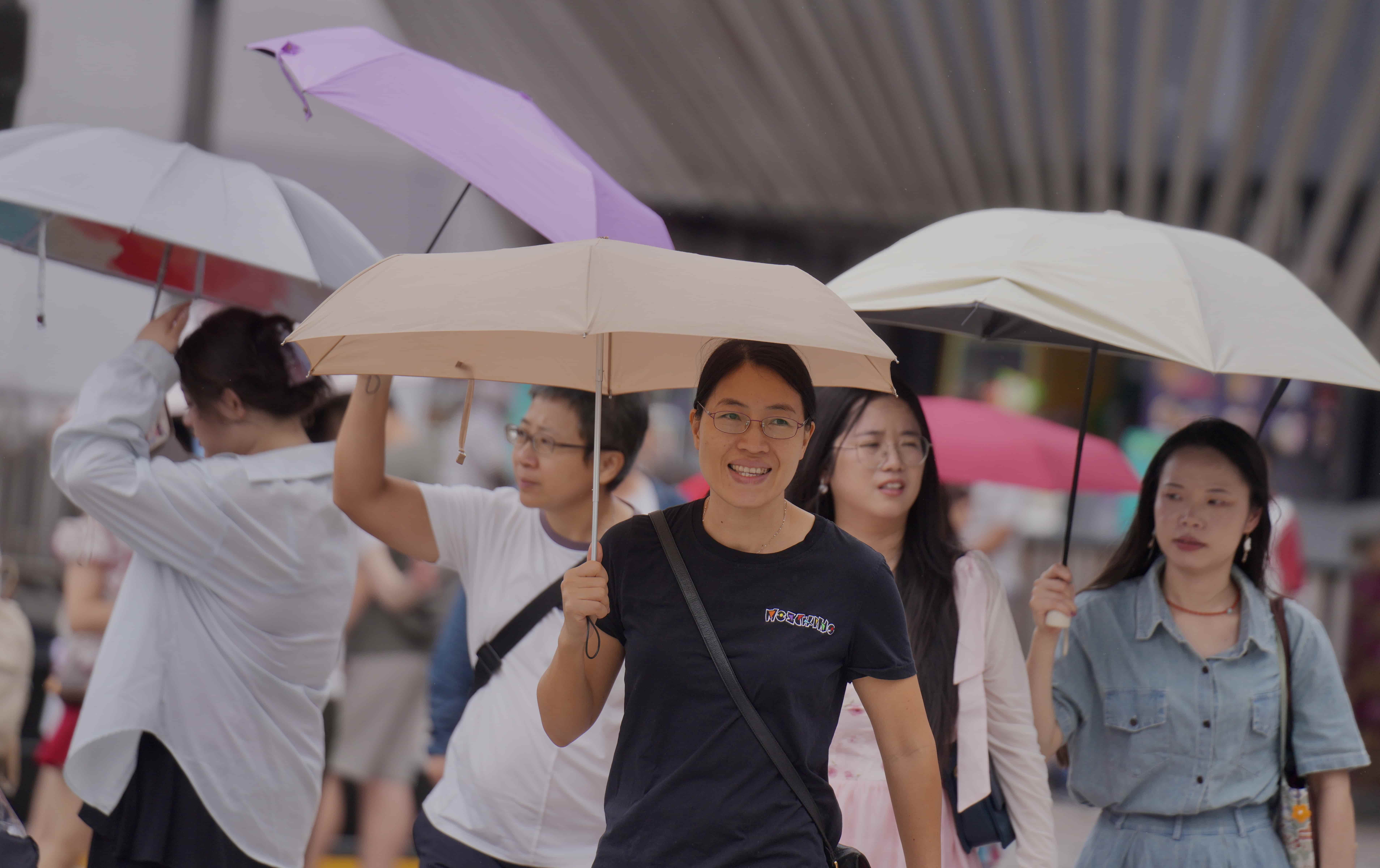
“Squally showers will increase gradually, and showers will be heavier in some areas,” it added.
The HKO advised members of the public to stay vigilant when engaging in outdoor activities, particularly water sports, and to pay close attention to safety at all times.
With the tropical cyclone expected to make landfall in the western coast of southern China over the weekend, local weather will gradually be dominated by an active southerly airstream.
“It will still be windy with occasional showers and squally thunderstorms,” the observatory said on Wednesday.