
The Hong Kong Observatory said on Thursday that it will consider raising the No 1 typhoon warning signal on Friday night due to Tropical Storm Matmo, which is expected to bring stormy weather to the city over the weekend.
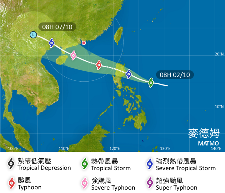
The HKO said in an advisory that Matmo will move across Luzon on Friday and later come within 800 kilometers of the territory.
“The observatory will consider issuing the Standby Signal, No. 1 tomorrow night,” the HKO said.
ALSO READ: Hong Kong in recovery mode after Ragasa onslaught
At noon Thursday, Matmo was centered about 610 kilometers east of Manila with maximum sustained wind speeds of 65 kilometers per hour near its center.
The observatory said Matmo is forecast to move in the general direction of the vicinity of western Guangdong and the eastern part of Hainan Island over the weekend and intensify gradually.
The weather in Hong Kong will become unsettled later from Saturday to Sunday and it will be windy with occasional squally showers. Seas will be rough with swells, the HKO said.
READ MORE: Observatory: HK could see up to eight typhoons this year
Depending on the distance between Matmo and the Pearl River Estuary, the tropical cyclone’s intensity and the change in local wind conditions, the observatory said it will assess the need for higher tropical cyclone warning signals on Saturday.
The observatory said weather in Hong Kong will be mainly fine and very hot on Thursday and Friday before turning windy with more showers on Saturday and Sunday.