
The Hong Kong Observatory (HKO) is considering issuing the Standby Signal No. 1 on Thursday morning in case a broad area of low pressure to the west of Luzon develops into a tropical cyclone.
The low-pressure system has entered the central and northern parts of the South China Sea and is gradually developing, but its structure is still loose, the HKO said in a weather bulletin issued at 5 pm on Wednesday.
It is expected to move toward Hainan Island and the adjacent southern seas, the observatory said, adding that its intensity remains uncertain.
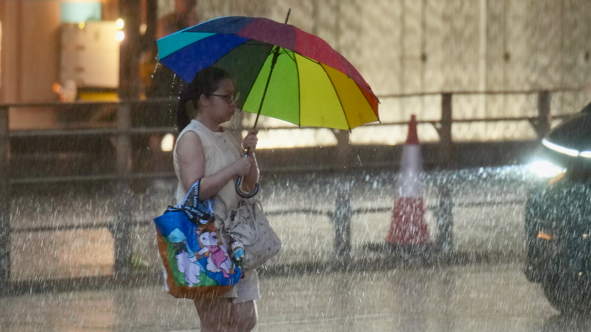
“Under the combined effect of the low pressure system and the ridge of high pressure over southeastern China, it will be windy with showers, thunderstorms and squalls over the northern part of the South China Sea and the coast of southern China tomorrow (Thursday) and on Friday.”
ALSO READ: HKO cancels all typhoon signals as Kajiki moves away
Warning that there will be swells, the forecaster said the chance of persistent strong winds generally over the territory is expected to be relatively low unless the low pressure system intensifies significantly or adopts a track closer to the coast of Guangdong.
It advised people to stay away from the shoreline and avoid engaging in water sports due to hazardous sea conditions.