

Hong Kong activated its highest black rainstorm warning at 7:50 am on Thursday as Tropical Cyclone Podul bore down on the city — the fifth such alert in a fortnight following last week’s record-breaking deluge.
The Hong Kong Observatory replaced the black signal with a red alert at 11:10 am and lowered it further to amber at 12:10 pm. It, however, warned of “exceptionally severe” rainfall exceeding 100 millimeters per hour in the Central and Western District, with landslide risks in the Southern District.
With Podul continuing to depart from the city and weaken, the observatory canceled all tropical cyclone warning signals at 12:20 pm.
The Education Bureau cancelled all day classes, and the Judiciary suspended morning hearings and prepared for a full-day adjournment if warnings persist past 11 am.
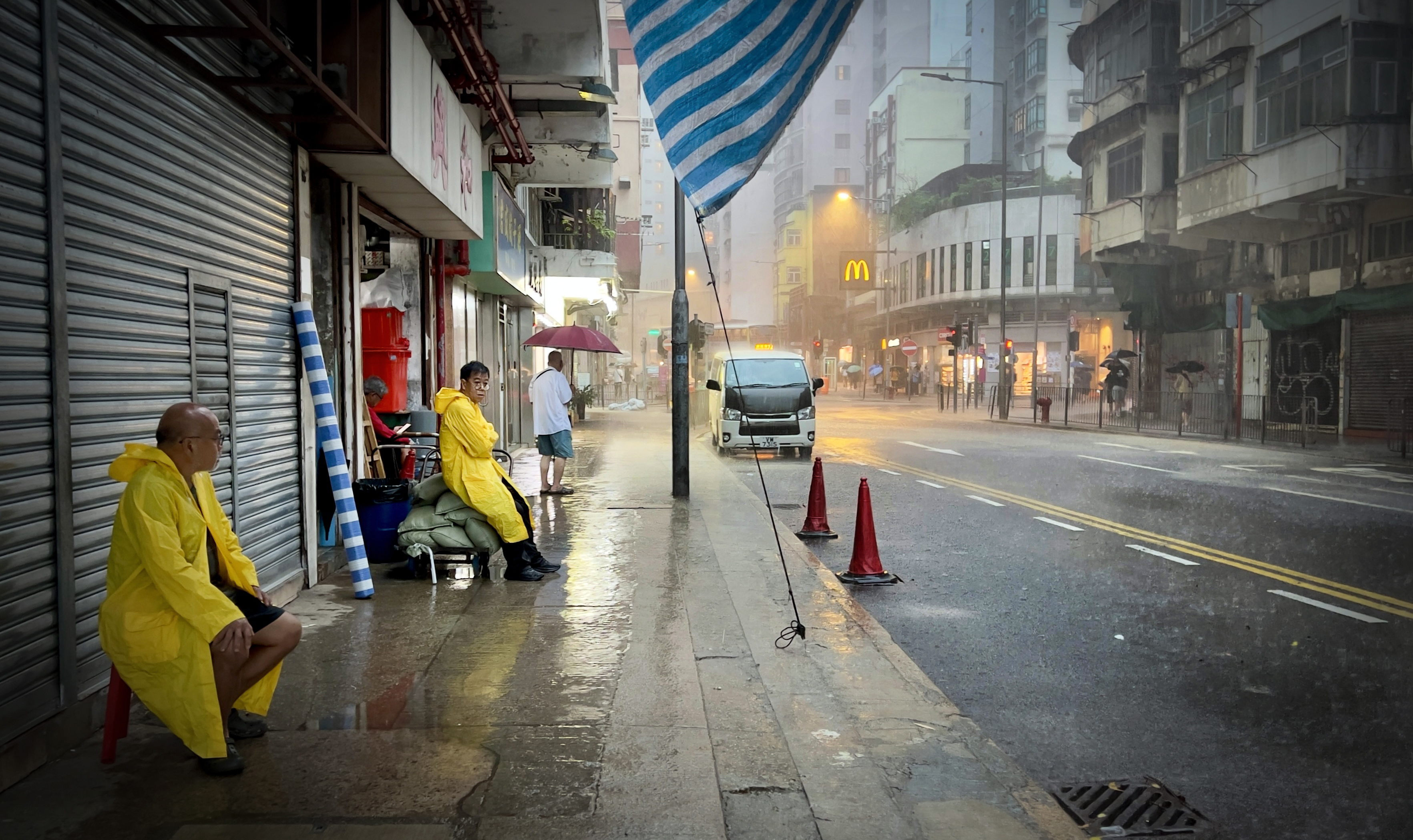
Advising residents to seek shelter in safe locations due to severely flooded roads and adverse weather conditions, the HKO said: “Heavy rain will bring flash floods, and flooding is occurring or is expected to occur in watercourses. People should stay away from watercourses.”
The black signal is issued when “heavy rain has fallen or is expected to fall generally over Hong Kong, exceeding 70 millimetres in an hour, and is likely to continue”. The city already hoisted such signals four times over the past two weeks, a record since the system launched.
Podul, located 260 kilometers northeast of Hong Kong at around 9:30 am, was tracking west-northwest at 30 kilometers per hour but remains sufficiently distant, allowing Hong Kong to maintain the No 1 typhoon signal.
“Podul is gradually departing from Hong Kong and weakening. However, under the influence of its intense outer rainbands, locally there are heavy squally showers and severe squally thunderstorms,” the HKO said in a 9:45 am bulletin.
The No1 signal is the lowest in Hong Kong’s typhoon warning system, being issued when a cyclone is “centered within about 800 kilometers of the city and may affect the territory”, as stated by the Observatory.
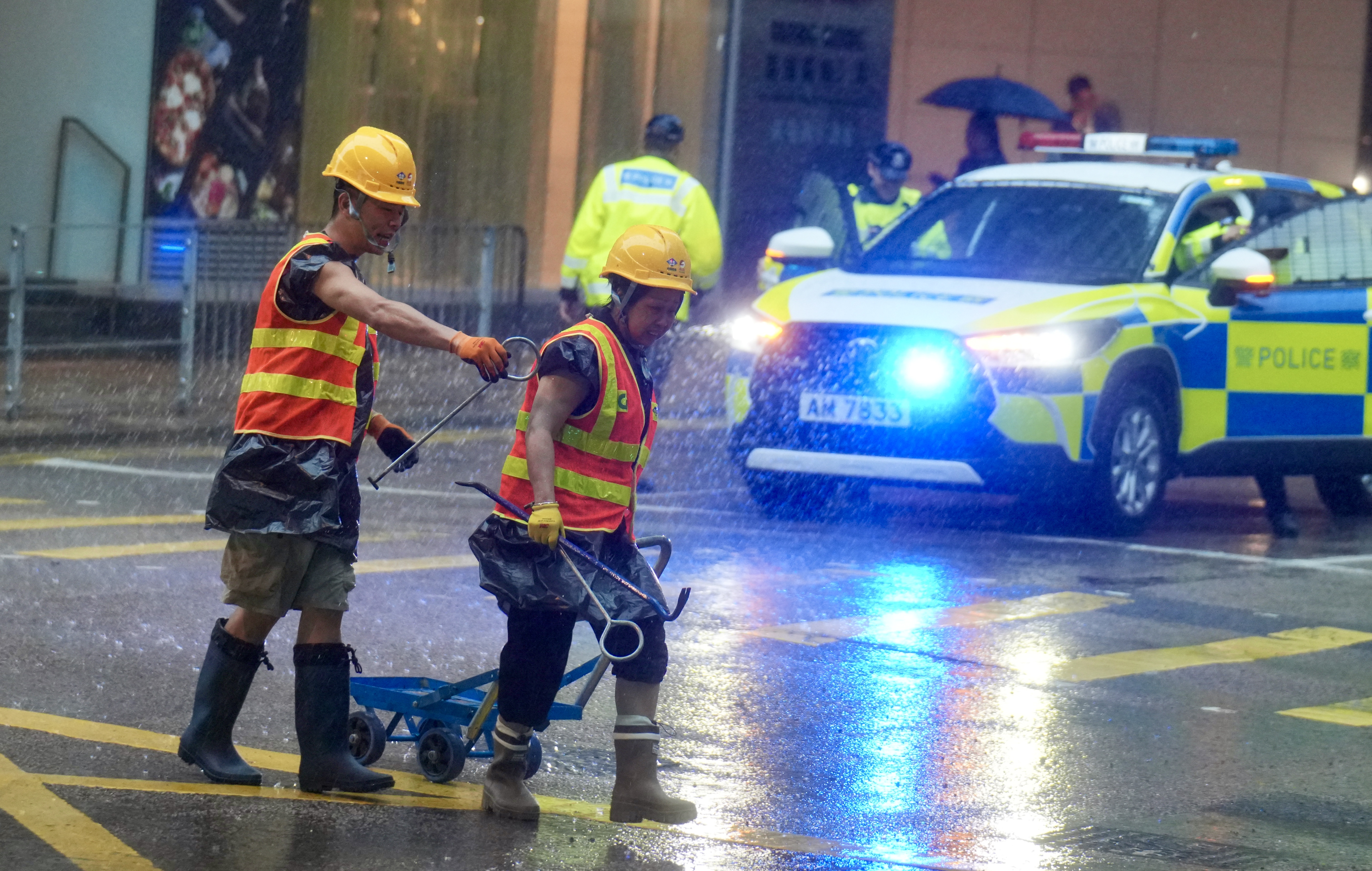
Within hours of the warning, knee-deep floodwaters submerged parts of Connaught Road West in Hong Kong Island, blocking drains and stranding vehicles.
Floods paralysed the Western Harbour Tunnel’s Hong Kong Island exit during morning rush hour, increasing transport chaos across the territory.
Following the black warning the Drainage Services Department's Emergency Control Centre sprang into action, dispatching 90 response units across the city to conduct inspections and clearance operations at approximately 240 known high-risk flood-prone spots vulnerable to blockages.
The emergency crews also responded to multiple flooding reports across Central and Western District in the early morning, with no injuries reported by around 10:30 am.