
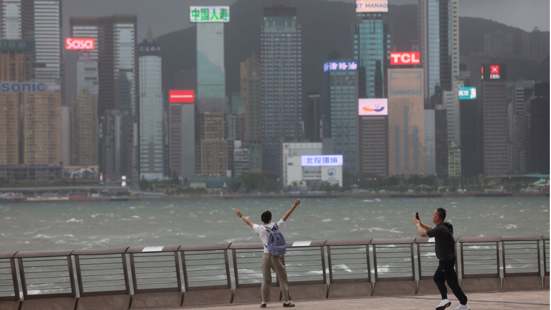
The Hong Kong Observatory hoisted the Strong Wind Signal, No. 3 on Sunday night as Typhoon Wipha moved further away from Hong Kong.
The observatory replaced the Gale or Storm Signal, No 8 warning at 7:40 pm with T3, which means winds with mean speeds of 41 to 62 kilometers per hour were expected to blow in Hong Kong.
ALSO READ: Wipha lashes Hong Kong
“Strong winds are still blowing. Please do not relax taking precautions. It is not yet safe for small vessels to leave typhoon shelters,” the HKO said, adding that seas were still rough with swells.
The observatory had raised the Hurricane Signal, No 10 at 9:20 am as Typhoon Wipha was about to skirt around 50 kilometers south of the city.
Wipha was the strongest storm to hit Hong Kong in two years, with average wind speeds exceeding 118 kilometers per hour. The last time the No. 10 signal was raised was in 2023 when Super Typhoon Saola struck.
The observatory said Wipha's intense rainbands were still bringing heavy squally showers to Hong Kong on Sunday afternoon and urged the public to stay away from the shoreline and avoid water sports.
Macao also raised the No 10 typhoon warning signal at 12:30 pm and later lowered it to T8 at 5 pm.
As of 4 pm, the Hospital Authority said 16 males and 10 females had sought medical treatment during the typhoon, while 253 people sought refuge at 34 temporary shelters opened across Hong Kong. There were 471 reports of fallen trees.
A social media footage captured the moment when bamboo scaffolding on a high-rise building in North Point, Hong Kong Island, collapsed after being buffeted by gale-force winds, damaging several cars on the street.
The Mass Transit Railway, Hong Kong’s subway operator, resumed train services later on Sunday, except for a few light rail routes. High-speed rail services also resumed after passengers were stranded at Hong Kong's West Kowloon Station.
Among those stranded were four members of the Li family, including two children, who had arrived in Hong Kong on Friday and were due to depart for Shenzhen at 4 pm.
Li told China Daily they had decided to go ahead with the visit despite the approaching typhoon as they were unable to cancel their hotel bookings.
The Yue family was also in the same boat, having arrived in the SAR on Friday and due to leave at 3 pm, but their departure was delayed to 4 pm. Yue said the concourse was too crowded, with insufficient room for them to rest.
At 6 pm, Wipha was centered about 160 kilometers west-southwest of Hong Kong and was forecast to move west at about 22 kilometers per hour skirting the vicinity of the coast of western Guangdong.
READ MORE: Severe tropical storm Wipha blows away from Philippines
The Airport Authority Hong Kong estimated that about 400 flights resumed on Sunday afternoon, involving about 80,000 passengers. Around 500 flights were cancelled earlier.
The AAHK deployed an extra 1,000 staff to maintain operations after the No 8 storm or gale signal went up at 20 minutes past midnight. Water, blankets and food were distributed to stranded passengers. The airport authorities advised passengers to contact their airlines before leaving for the airport and allow enough time to make arrangements.
ALSO READ: Flood warning as Hong Kong braces for storm Wipha
The Education Bureau suspended all classes on Sunday, including those in secondary, primary and special schools, kindergartens, and kindergarten-cum-child care centers.
Due to the storm surge, water levels rose to about three meters above chart datum at Tai Po Kau on Sunday morning, and there were three confirmed reports of flooding.
Oliver Hu, 25, braved the typhoon by commuting from To Kwa Wan in Kowloon to Aberdeen in Hong Kong Island’s Southern District to work. The usual 40-minute journey took him almost two hours due to the suspension of public transport services.
Hu said he was almost blown away by the strong winds, adding he could not see anyone on the streets on his way to his office.
A 33-year-old internet user who works in the catering sector told China Daily he was on his way to Lok Fu, Kowloon, for work after leaving his home in Shek Kip Mei in the morning.
As he approached the subway station, his employer informed him he did not have to show up for work, which is rare for a catering business that normally continues operating during typhoons.