
The Hong Kong Observatory issued the No. 1 typhoon warning signal at 12:20 pm on Friday as an area of low pressure over the northeastern part of the South China Sea has intensified into a tropical depression.
“The Standby Signal, No. 1 will remain in force at least until noon tomorrow,” the forecaster said in a 4:45 pm bulletin.
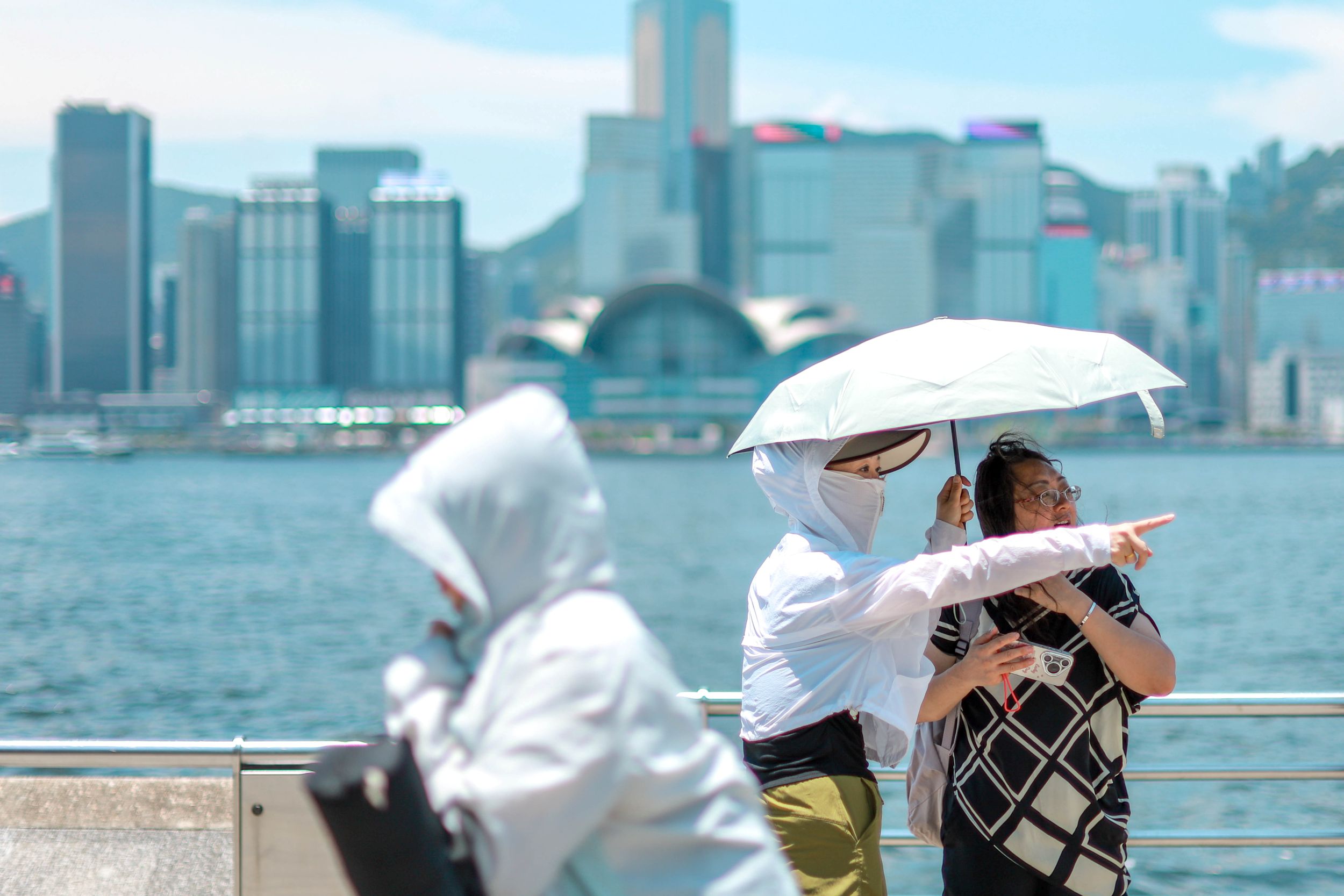
It will be very hot in Hong Kong on Friday and in the next couple of days, with temperatures reaching 35 degrees or above in some areas. High temperatures will also trigger showers and squally thunderstorms, it said.
ALSO READ: Observatory: HK could see up to eight typhoons this year
The tropical cyclone is expected to be the closest to the vicinity of the Pearl River Estuary later Saturday to Sunday morning, according to the HKO.
The circulation of the tropical cyclone is relatively small. It will be slow-moving and still maintain a distance of around 400 kilometers or more from Hong Kong Friday night to Saturday morning, it added.
“It will linger over the northeastern part of the South China Sea and continue to intensify.”
Pointing out that there are uncertainties in its subsequent movement, the observatory said according to the present forecast, the tropical cyclone will turn northwards gradually later on Sunday in the general direction of the vicinity of the Taiwan Strait to the coast of eastern Guangdong.
ALSO READ: HKO cancels all typhoon warnings as Wutip moves away
Depending on the track of the tropical cyclone, its speed of intensification, and the distance between its associated strong winds and the Pearl River Estuary, the HKO will assess the need to issue higher tropical cyclone warning signals later Saturday and at first on Sunday.
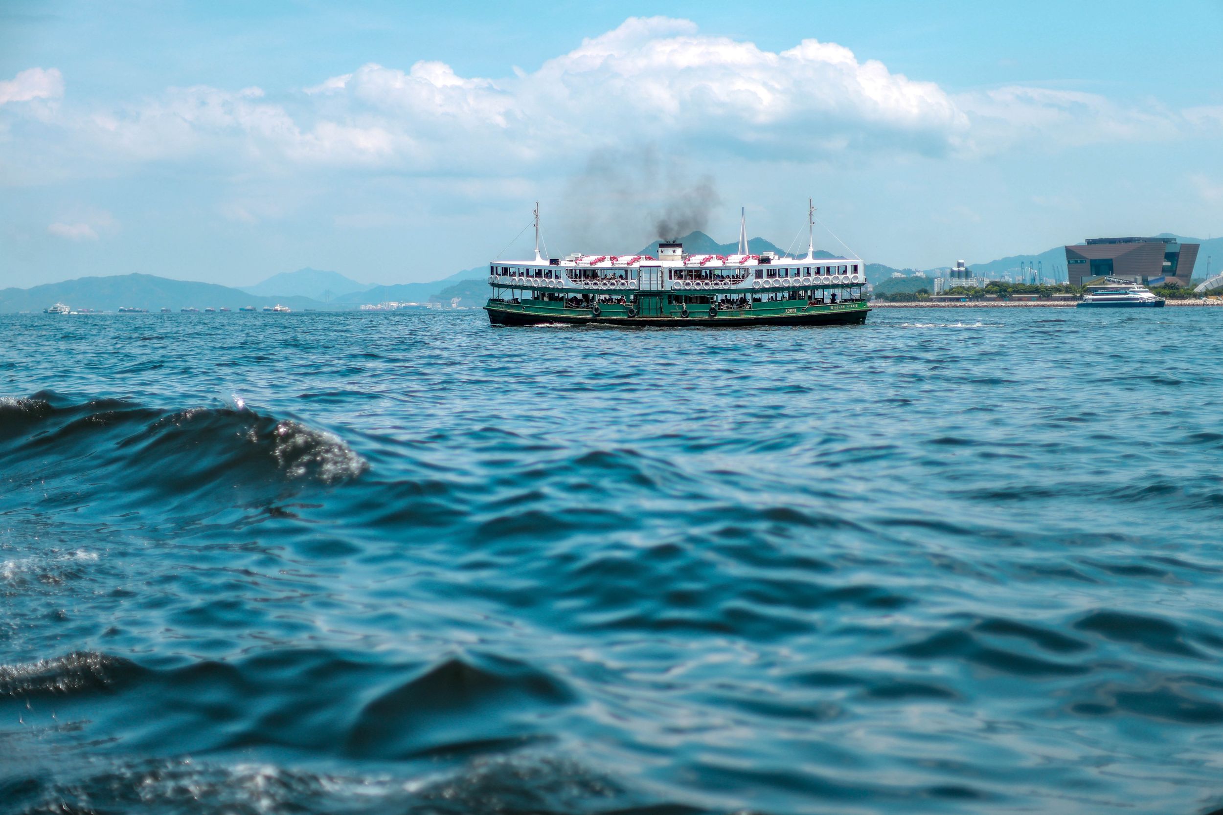
There will be swells in the next couple of days, the observatory warned, asking people to stay away from the shoreline and not engage in water sports.