
HONG KONG - The No. 1 typhoon signal would remain in effect throughout at least until Saturday noon with tropical storm Wutip forecast to make landfall near Leizhou Peninsula during the day, according to the city’s observatory.
Wutip is expected to move across Beibu Wan Friday night and Saturday morning, maintaining a distance of 500 kilometers or above from Hong Kong for most of the time, the Hong Kong Observatory said in a 4:45 pm bulletin.
According to the present forecast track, Wutip will turn northeastwards gradually. After making landfall near Leizhou Peninsula, it can move across the vicinity of the Guangdong-Guangxi boundary.

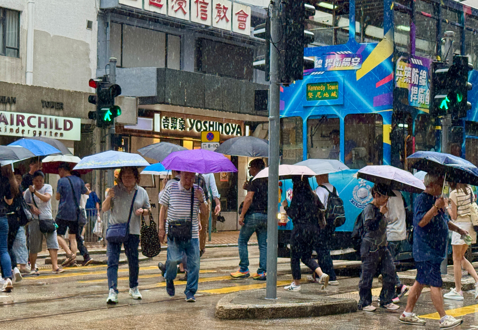
In Hong Kong, the weather was cloudy with occasional squally showers and thunderstorms. Sea conditions remained rough, with swells observed in offshore waters.
The observatory advised members of the public to stay away from the shoreline and to avoid water sports or marine activities.
While Wutip posed no imminent threat to Hong Kong, its circulation is expected to bring strong winds progressively closer to the Pearl River estuary in the coming days, according to the HKO.
ALSO READ: Typhoon Wutip: Signal No. 1 to remain until Thursday morning
The observatory will assess the need to issue the strong wind signal No. 3 on Saturday afternoon depending on Wutip’s development and proximity to the territory.
Local winds are expected to diminish later on Sunday with the storm gradually fading over inland locations, it added.
Wutip is the first typhoon for China this year, according to the National Meteorological Center.